
The first step in the reconstruction of Saint-Martin is to establish a hazard map, that is to say a map that represents the characterization of the natural phenomena to which the risk basin is exposed. It makes it possible to locate and prioritize the different hazard zones mainly according to their level of intensity and their probability of occurrence. In Saint-Martin there is the risk of submersion, the risk of flooding and the risk of earthquakes.
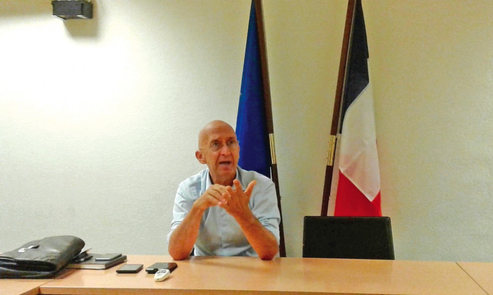
The natural risk prevention plan drawn up by the State in 2011 must be revised in view of the damage caused by Irma. New so-called vulnerable areas will appear and housing will be prohibited or authorized there under certain conditions. Undoubtedly "the land will be reduced", announces the prefect Philippe Gustin, interministerial delegate for the reconstruction of Saint-Martin. On the basis of this new mapping of hazards, the latter will define "a doctrine" which will have to be adopted at least by the Community which has urban planning competence.
Finally, in reconstruction, the State imperatively wants to integrate the concept of sustainable development. "The main wealth of the island in its entirety is its environment," he conceives.
More details on www.soualigapost.com
6,652 total views


No comments