


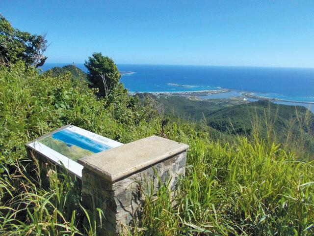


A sector with an evocative name, the view is heavenly. A landmark for hikers, Pic Paradis is also accessible by road via Rambaud.
Pic Paradis is a mountain whose summit reaches an altitude of 424 meters, making it the highest point in Saint-Martin. The qualifier of "peak" is unique to it since the other mountain peaks of the island are called "mountain" or "hill".
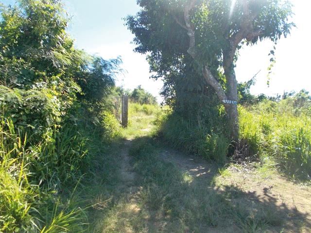
Access is possible on foot by three different paths:
The central ridges for a distance of 6,5km from the Pic Paradis aerial with an arrival at Mont des Accords. Particularly, a long stone wall symbolizes the border between the French part and the Dutch part of the island.
The north-eastern ridges with a distance this time of 4,5km still at the start of the antenna but this time with an arrival at Orient Bay. A visit to the abandoned hamlet of Petit-Fond where ruins and tombs mingle will cross your path.
And finally, the last 3,5km trail, Puits de l'Eden, with a starting point at the west antenna and an arrival directly at Pic Paradis. It is here the northern slope that we explore, with a view of the ruins of the Paradis sugar factory at an altitude of 270m and the two large cast iron kettles of the well.
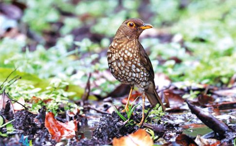
If the tropical flora has not already completely seduced you (and the fauna is not to be outdone, monkeys, iguanas and butterflies await you), you will fall under the spell of the panoramic view of Saint-Martin and the neighboring islands. Between flip flops and hiking shoes, you will need at least a good pair of sneakers to reach the top. Without forgetting the water gourd. _VX
7,849 total views

No comments